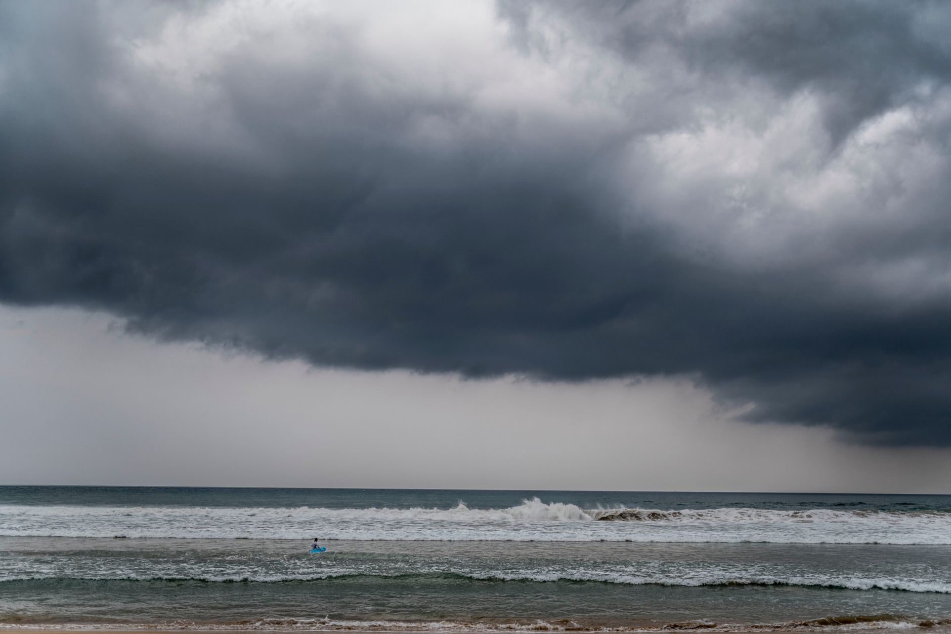
Sri Lanka's south-western regions are bracing for continued rainfall today, with the Department of Meteorology forecasting fairly heavy downpours in several parts of the island. The prevailing showery condition, which has dominated weather patterns over recent days, is expected to persist throughout Thursday, 28 May 2026, prompting residents and authorities to remain vigilant.
According to the latest weather advisory issued early this morning, the atmospheric disturbances affecting the south-western quadrant show no immediate signs of abating. Meteorological officials have urged the public in affected areas to take necessary precautions as rainfall intensity could increase during afternoon and evening hours.
South-Western Provinces Bear the Brunt
The Department of Meteorology has identified the Western, Sabaragamuwa, and Southern provinces as the primary zones likely to experience fairly heavy rainfall today. These regions have already witnessed intermittent showers over the past 48 hours, with some localities reporting localised flooding and traffic disruptions.
Colombo city and its suburbs are expected to receive moderate to heavy showers, particularly during the late afternoon. Commuters have been advised to plan their journeys accordingly, as waterlogging on main thoroughfares remains a possibility. The Gampaha and Kalutara districts are similarly positioned to receive substantial precipitation.
In the Sabaragamuwa province, Ratnapura and Kegalle districts could see the most significant accumulation. These hilly areas are particularly vulnerable to landslides during periods of sustained rainfall, and the National Building Research Organisation has recommended heightened awareness in vulnerable communities.
Meteorological Factors Behind the Rainfall Pattern
The persistent showery condition stems from a combination of atmospheric factors, according to meteorological experts. A low-level atmospheric disturbance in the vicinity of Sri Lanka, coupled with strong south-westerly winds, has created favourable conditions for cloud formation and precipitation over the island's south-western flank.
The Department of Meteorology noted that these weather systems typically intensify during the south-west monsoon period, which generally spans from May through September. While the current conditions are consistent with seasonal expectations, the intensity and duration of individual weather events can vary considerably.
What Residents Should Expect
Rainfall accumulations in the most affected areas could reach 75 to 100 millimetres within a 24-hour period, though some localities may record higher figures. The showers are likely to be accompanied by temporary gusty winds, which could reach speeds of 40 to 50 kilometres per hour in exposed areas.
Fishermen operating in the south-western coastal waters have been advised to exercise caution, as sea conditions could turn rough with the onset of heavy rainfall and associated wind activity. The Department has recommended that those venturing out to sea remain updated on the latest weather bulletins.
Precautionary Measures and Public Safety
The Disaster Management Centre has activated its monitoring systems across vulnerable districts. District secretariats in Western, Sabaragamuwa, and Southern provinces have been placed on alert to coordinate rapid response measures should localised emergencies arise.
Residents in low-lying areas prone to flooding are encouraged to monitor water levels closely and relocate to safer ground if necessary. Those living near steep slopes or in landslide-prone zones should remain particularly vigilant, especially if rainfall persists through the night.
The Irrigation Department is closely monitoring reservoir levels across the island, though current capacity levels do not present immediate concerns. Water releases from major reservoirs remain within normal operational parameters.
Looking Ahead: Extended Forecast
While today's weather will be dominated by showery conditions in the south-west, other parts of the island may experience scattered showers, particularly during evening hours. The Central, Uva, and North-Western provinces could see isolated thundershowers developing in the afternoon.
Meteorological officials indicated that the current weather pattern is likely to continue through the weekend, with gradual improvement expected early next week. However, residents should continue monitoring official weather updates, as forecasts can change based on evolving atmospheric conditions.
The Department of Meteorology issues updated bulletins every six hours, with special warnings published as needed. The public can access the latest information through the department's official website and authorised media channels.
Source: Ada Derana
No comments yet. Be the first to share your thoughts!